Longtime lurker. This might be a dumb topic but it I thought it was kind of interesting.
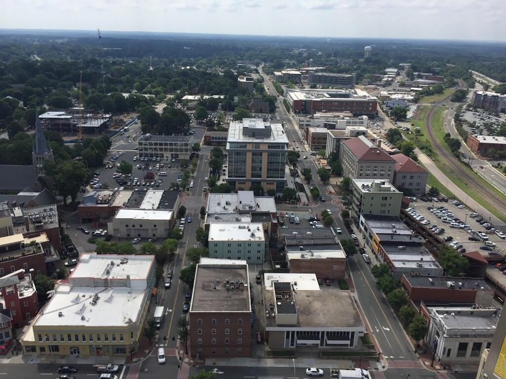
I was riding on Capital Blvd in Wake Forest earlier today and could easily see the downtown Raleigh skyline near the Lowes Home Improvement store. It made me wonder if anyone on here knew of a vantage point to see the Raleigh skyline from a further distance? This being an area with not particularity high elevations makes it tougher here than some areas, along with all the trees. The google maps measurement tool showed the distance to the PNC Building to be 14.3 miles from there. This is actual miles, not road distance.
Anyone know of a further distance the skyline can be seen from?
This isn’t nearly as far as other views people have posted, but I’ve spotted the skyline from the Buffaloe Landfill on 401 in Garner. It’s about 5 miles away as the crow flies:
See Matt Robinson’s awesome picture from atop the Wells Fargo tower back when they installed the new signage. You can definitely see downtown Durham from downtown Raleigh (and vise versa) on a clear day.
I couldn’t believe what I was seeing at first so I got out Google maps and was using the little directional finder and lo and behold I could see each of those cities. I didn’t think to look for Charlotte. I’ll have to do that next time.
Its about 80 miles as the crow flies from Pilot Mountain to down town Charlotte and about 110 to downtown Raleigh. You can see Winston Salem when you are at the highest point of US-52 heading south. It really stands out at night when the Wachovia Building is lit up. I have made the trek from Surry County to Raleigh many, many, many times in the past 22 years.
My parents are around 10 minutes from there as well. I have camped near the base of Pilot Mtn. many many times on the Ararat River. Beautiful place, especially in the Fall.
I believe Matt Robinson has pictures of downtown Raleigh from UNC Hospital.
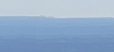
The curvature of the earth and the hillyness of terrain past that point make it a longshot. I think there are hills blocking the view from Occoneechee Mountain (which you can see in Matt Robinson’s photo of downtown Durham, but from one of those, possibly Cox Mountain in the Eno River State Park, you could catch a more distant view. Pretty sure that is Greensboro in JosABanks’s photo, unless it’s possible to see Raleigh through a mirage?
Another candidate is the Systel Building in Fayetteville. Because the land in between is quite flat, it may be unobstructed even though it’s further than Durham and shorter.