I’m just getting around to reading this, it’s actually from here:
Some highlights (IMO anyway)
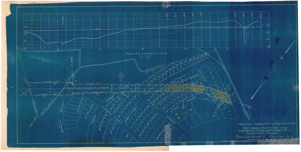
For railroad aficionados, many maps show the development of the area railroad system, such as a 1912 map of the new railroad cutting through Boylan Heights in Raleigh.
Here’s a lower res version of that BH map:
An example of an early subdivision is a 1920 map of Hayes-Barton in Raleigh.
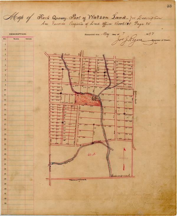
The Register of Deeds office has created a special page where these historic original maps and the other records can be browsed on-line.
Survey of Raleigh Road District. (Showing roads and rail lines in relation to the Capitol.) 1897.
Survey of Raleigh Road District. (Showing roads and rail lines in relation to the Capitol.) 1897.
Old Fair Grounds. (Displaying names and price information.) Recorded 1893.
Brooklyn Hill Sub-Division. (Devereux and Peace Streets area.) 1905.
“Idlewild” “The Sewell Grove” Addition to the City of Raleigh. (Oakwood Avenue on the north to New Bern Avenue on the south.) 1906.
South Park. (South Park subdivision, Raleigh, showing existing structures.) 1906.


