On the '45 map, it looks like somebody penciled in a route from Glenwood to Whitaker Mill to Pershing… Wonder what these were directions for??
Saw that. Didn’t make any connections, though.
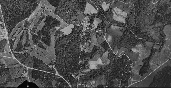
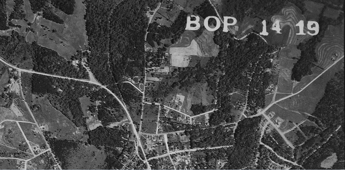
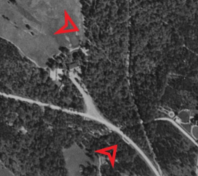
The earliest aerials that I can find are from 1938. You can still kinda make out the old park. It looks like the trolley tracks might have ran through the woods, to the west of St. Mary’s.
1938:
https://library.unc.edu/data/gis-usda/wake/1938
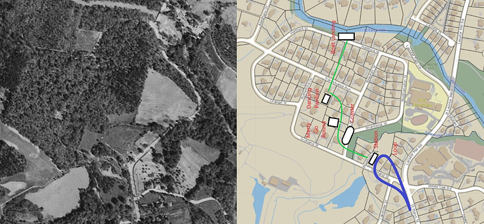
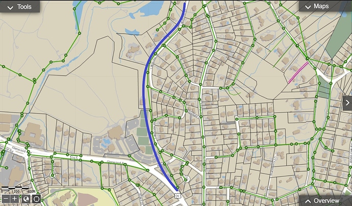
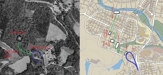
You are most correct. The turnaround loop is still quite evident, and the traverse to the Park definitely appears to go through the woods following the path now taken by Lakeview, and not just running on the Saint Mary’s/Lassiter Mill right of way as I had originally surmised.
The track also appears to cut right across what was then called Highland, and now Argyle. Looking at the current property lines, it matches the Duke Energy ROW through there which makes sense since the streetcar line was owned and operated by Carolina Power & Light.
General approximation of the Bloomsbury Park trolley line (in blue)
The path into the Park from the trolley stop crossing Beaverdam Creek is still quite evident, and the square patch/clearing matches where the carousel had been after it had been moved to Pullen Park in 1920. (No evidence of the roller coaster, though. And, the dancing pavilion is very likely overgrown and/or probably collapsed.)
It also appears that by this time, Saint Mary’s had been connected to Lassiter Mill while Glenwood was extended over to Oberlin/Leesville. But, the old Lassiter Mill bridge was still there!
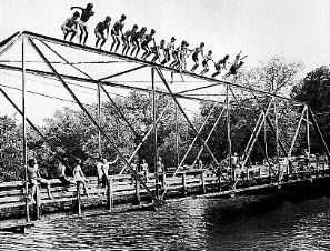
I have wondered about where the stop for the Carolina Country Club might have been since there was service either to the club or the park at the time…
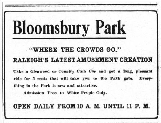
Advertisement from The Raleigh Times, 08/19/1912 - (with reminder that Jim Crow was in full flourish)
The first club house was built in 1910, burning down in 1919. This aerial documents the area before the second club house burned down in 1948. (Karl Larson aka ‘Raleigh Boy’ did a nice feature on this in Goodnight Raleigh.)
So, members traveling to the club by streetcar would probably have gotten off in the woods going over to the clubhouse from the side, and not up the hill from Glenwood.
But, all of that came to an end in 1933 when the trolley system was abandoned in favor of buses. The tracks in this aerial have very likely been pulled up (retaining the power transmission lines) while the other tracks were paved over popping up time and again during various repaving projects.
That advertisement is beyond cringeworthy!
FWIW, 5 cents in 1913 is $1.29 today.
Yup. Scrolling through time on Newspapers.com can be very revealing. Warts and all.
This makes a lot of sense with regards to matching up with anecdotes I have heard about ‘people still finding trolley track in the woods over there’. I had always assumed it was next to Lassiter Mill too. Maybe a walk down the ROW is in order to see what all is out there. It might just be pins and spikes (like I find in my yard) or maybe actual track. The in-street track in downtown was all abandoned in place. I’ve see track in Five Points, on Hillsborough St as far west as Bruegers and all over downtown proper so seems probable the Bloomsbury line is still there too.
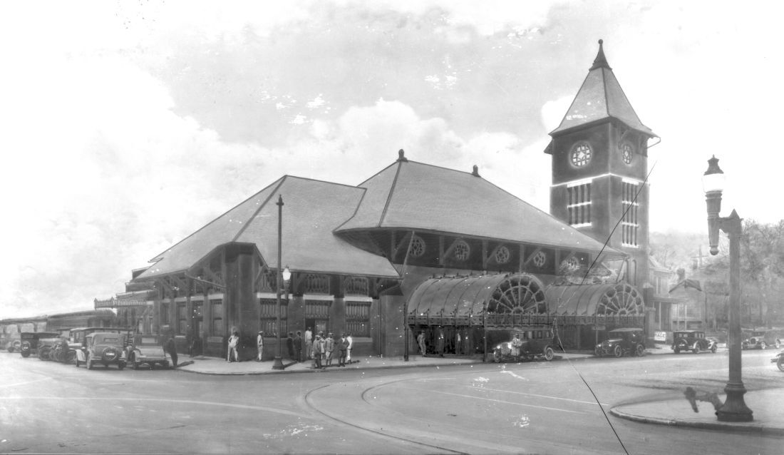
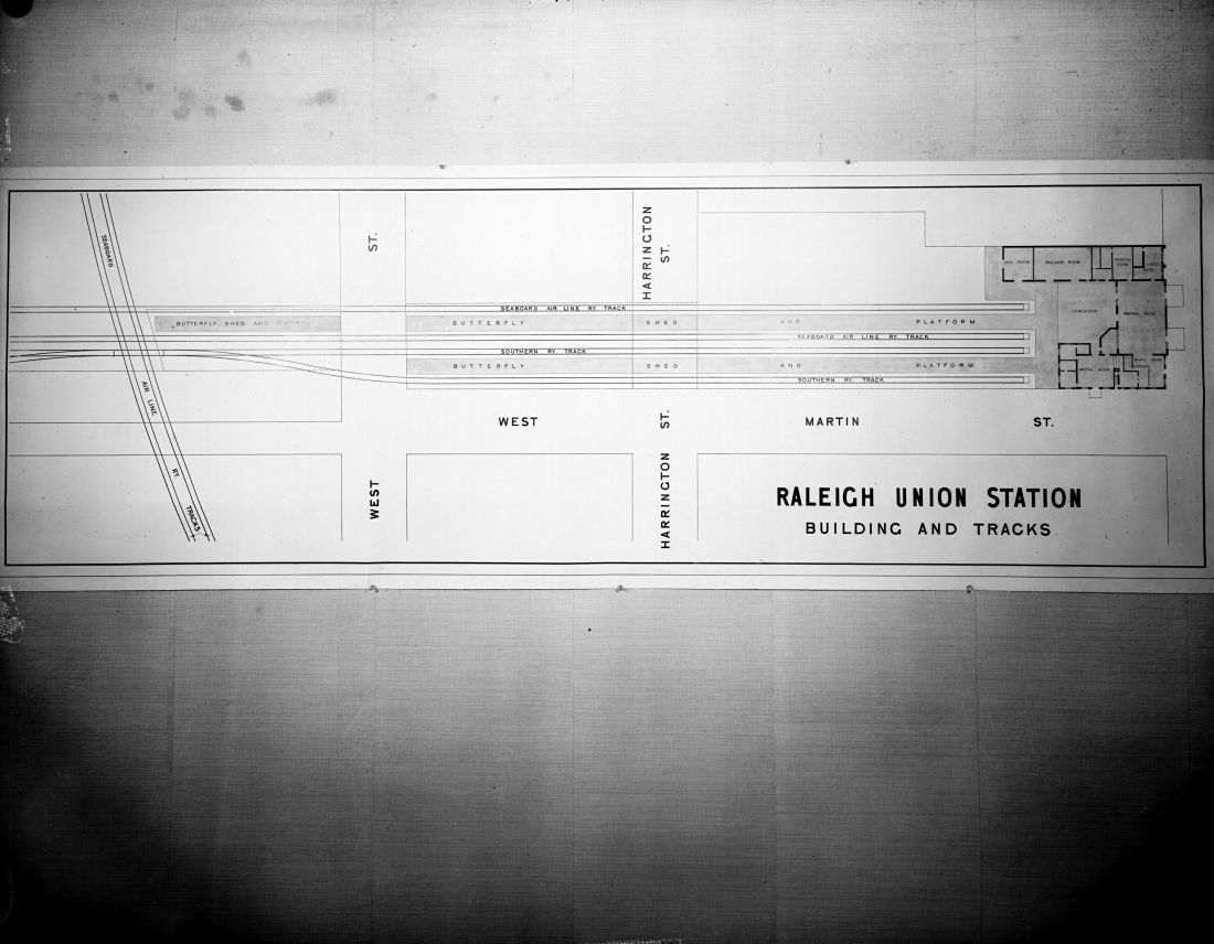
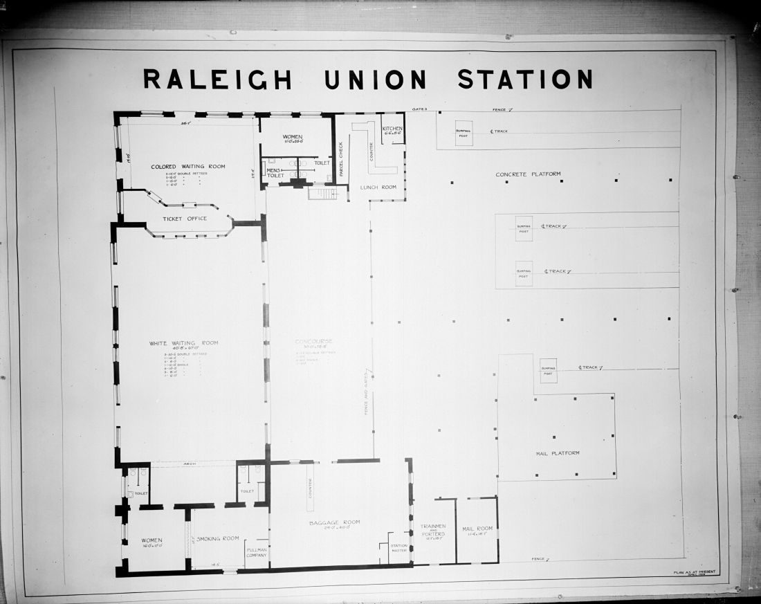
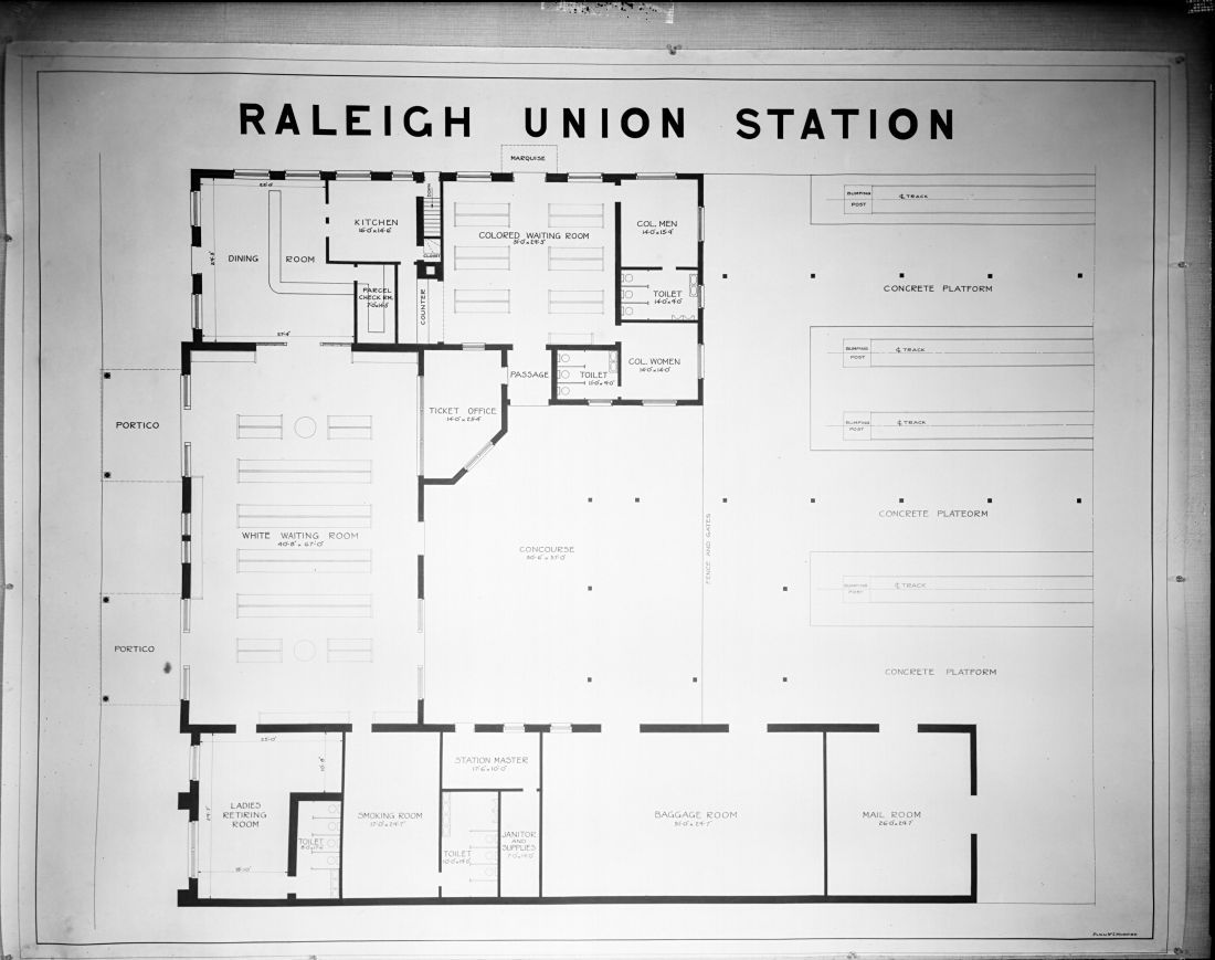
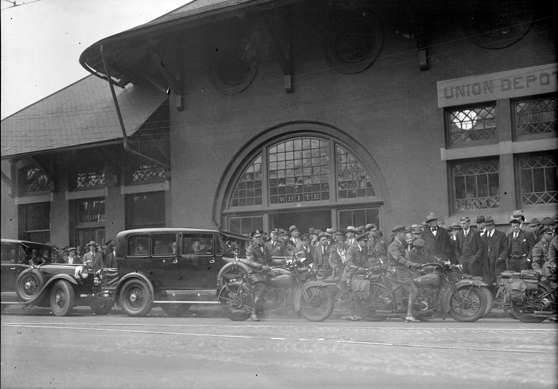
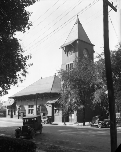
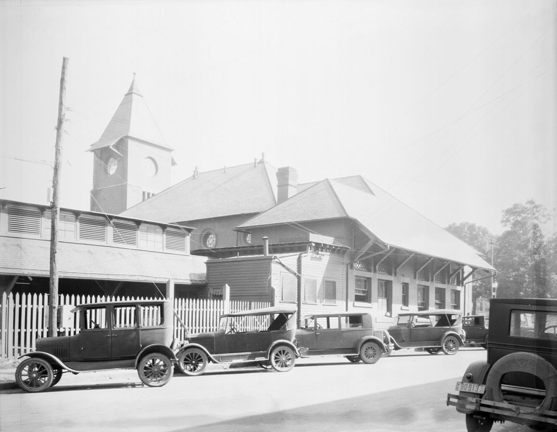
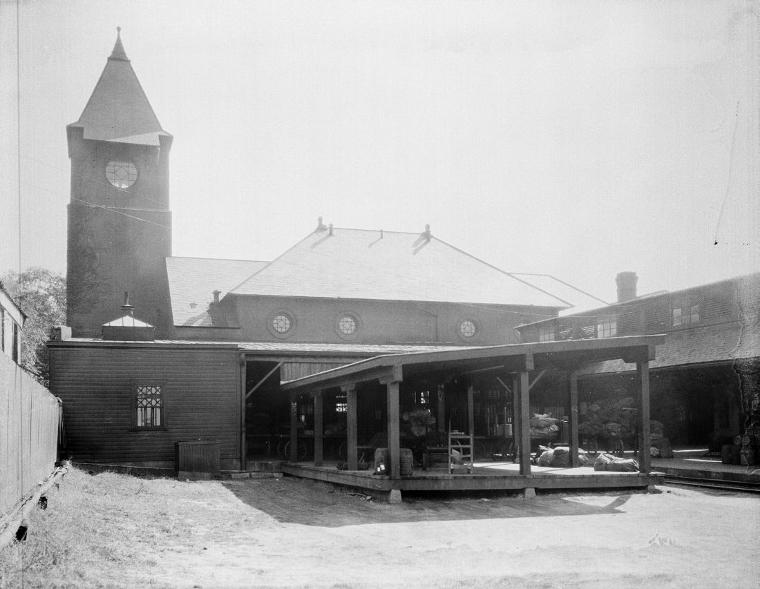
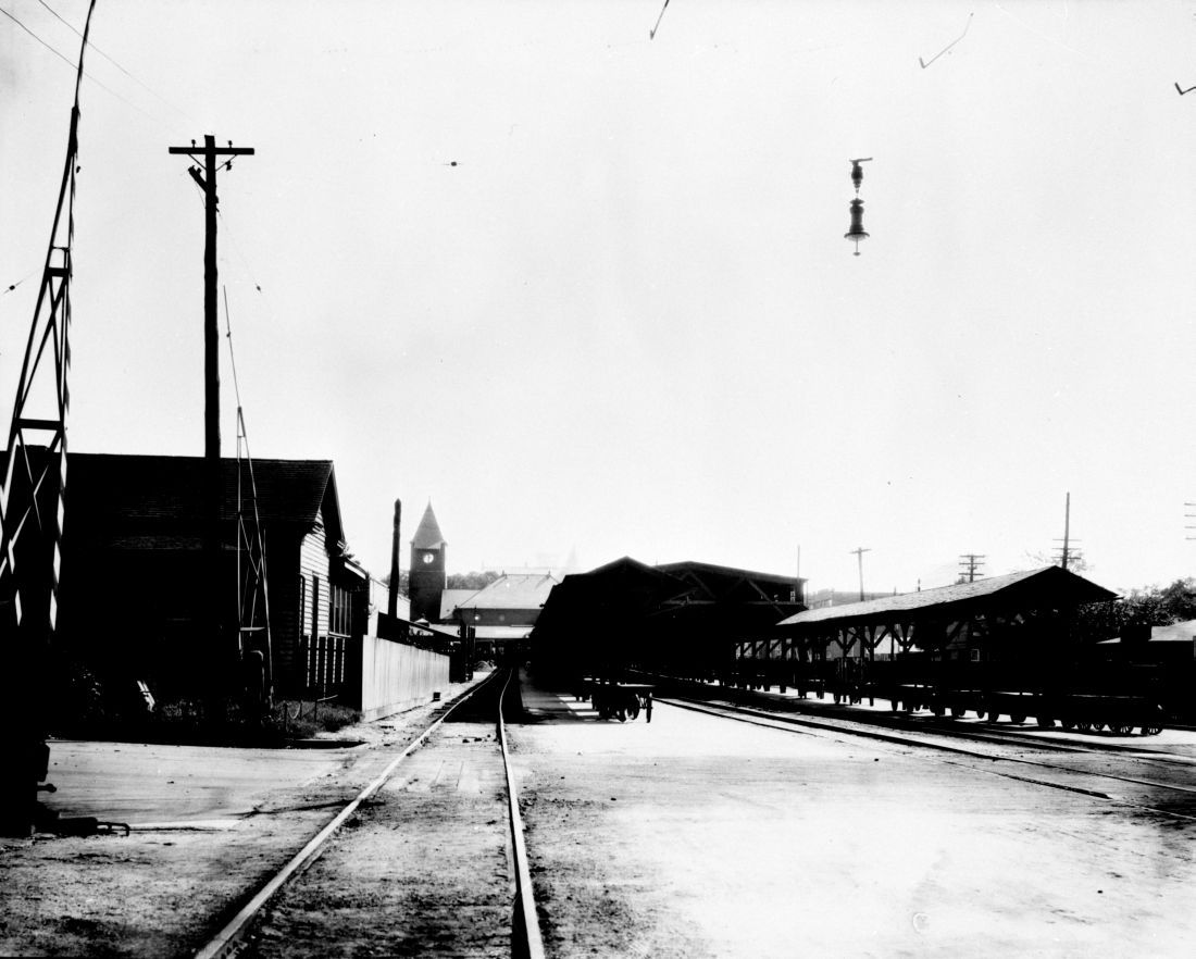
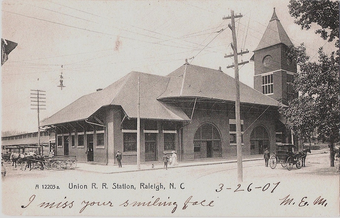
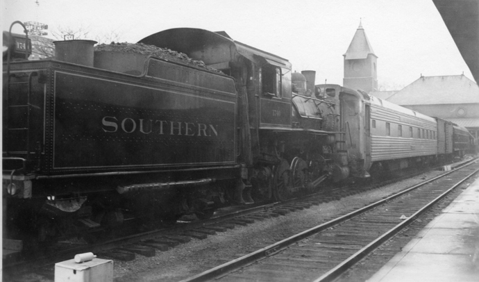
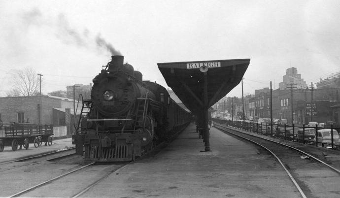
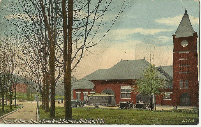
Union Station
Artistic Rendering
Plan A?
Plan B?
Al Smith visits in 09/28:(looks like they went with plan a)
Albert Barden Collection, State Archives of North Carolina, Raleigh, NC.
It just sucks that we’ve lost all of these old buildings, or in this case building details.
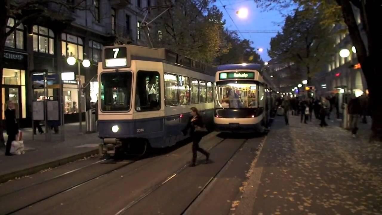
Shame we lost all the Trolley tracks too. European cities for the most part did not rip them out and they developed into a modern Tram system.
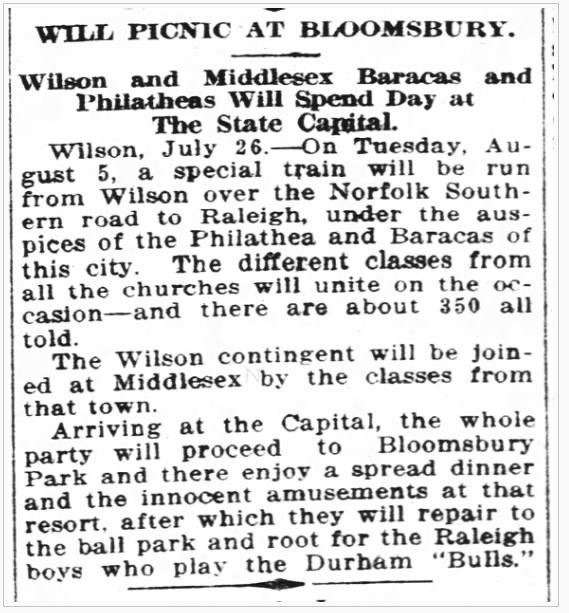
So, @bamaspam, your timing is impeccable. It seems as though there was a Bible-study group of 350 coming from Wilson and Middlesex in 1913 who were planning a mid-week day trip to Raleigh on Tuesday, August 5, 1913 (so, there were no Sabbath violations going on)…
From The Farmer & Mechanic newspaper, 07/29/1913, p. 7.
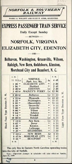
Now, the usual railroad timetable on the original Norfolk and Southern Railway showed that it took at least two hours to get from Wilson to Raleigh with the usual stops…
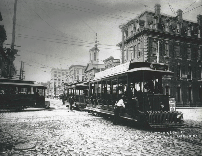
But, they opted to charter a special train for the outing which probably ran a little bit faster. Getting off of the train at Raleigh Union Depot, there was a Carolina Power & Light trolley stop right at the front door (which you were able to find with that postcard!!!)
Trolleys on Fayetteville Street. Advertising - Baseball Today: Fayetteville - Raleigh
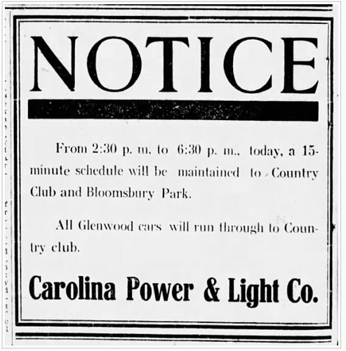
Anyhow, the trolleys to Bloomsbury Park ran every 15 minutes…
Service Announcement: News & Observer, 04/06/1913, p. 4.
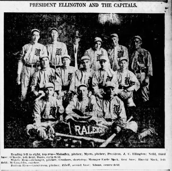
Afterwards, they set out from Bloomsbury by streetcar to see the Raleigh Capitals play the Durham Bulls at the new Raleigh League Park on Tarboro and New Bern avenues…
Raleigh Capitals team picture - News & Observer: 04/01/1913, p. 3.
Once the game was over, then it was back to Raleigh Union Depot to catch their waiting train and return to Wilson.
Logistics in 1913. Gotta love it!!!
Oh, BTW: The Capitals won 4-2.
Clipping from The News and Observer - Newspapers.com.pdf (690.1 KB)
Almost all of them are still in the streets under the pavement.
Except on Hillsborough street where they were removed during the recent update/roundabout project.
Well I wasn’t going to list it all out but what I know for sure that has been taken out; Hillsborough St Bridge, Hillsborough St in front of St Marys School, Hillsborough St from the Bell Tower to Bruegers, Hargett from West to Harrington, Glenwood in front of the Rialto, several utility cuts on Person between Polk and Peace and Fayetteville street from Morgan to Lenoir. Also the spikes and pins found along Pettigrew suggest that track was taken up too.
I also got email back from Carolina Country Club today in regards to my query about the location of their trolley stop. They’re not exactly sure of the station’s location, but they are still finding pins and spikes on the eastern border of their property from time to time.
So, I heard back from the Carolina Country Club. They highlighted an area on their property where they have found pins and spikes left over from the former trolley line.
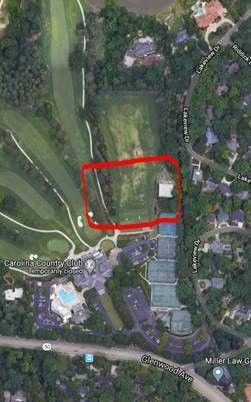
This makes me wonder if there had been a spur, house track or pocket track for Country Club cars allowing for Bloomsbury Park cars to to pass. It would certainly account for the residual amount of leftover hardware after the system was abandoned.
A detail focus from the 1938 aerial seems to indicate that there was a spur from the main line, or a trail from the stop to the clubhouse, but not another turnaround loop like there was up at the park terminus.
An amusing side note with the aerial. The new ‘Raleigh-Durham Highway’ (US 70) does have a contingency for a bus stop siding.
I’m still waiting to hear back as to whether the club has any archival images of their trolley stop like the extant one at Hayes Barton. More later…
Update: No luck on a photo. I guess there weren’t any rail fan or transit geeks at the Country Club.
Pretty interesting article about the Rose Garden:
I delineated that camp size from a description I found and it went way way out to encompass Umstead, the art museum and most of NW ITB. I’ll have to see if I can find that piece.
Here’s a quickie bit from NCSU…
And, from UNC…
https://docsouth.unc.edu/wwi/olds/olds.html
Finally, some photos from the North Carolina State Archives…
This new features editor is doing quite a bit of work in digging up stuff:
Same structure (from Mike Legeros)
