I am still relatively new to this community, so apologies if something like this already exists, but has there ever been any conversation about using a map-based platform to track/discuss projects?
I have maintained (with somewhat regular consistency) the link map below for a few years but could see this being a really powerful tool if it was a community resource.
Very cool. I’ve seen a map-based plug-in to add a location the topics but haven’t really explored that further as I would prefer some kind of crowd-sourced solution.
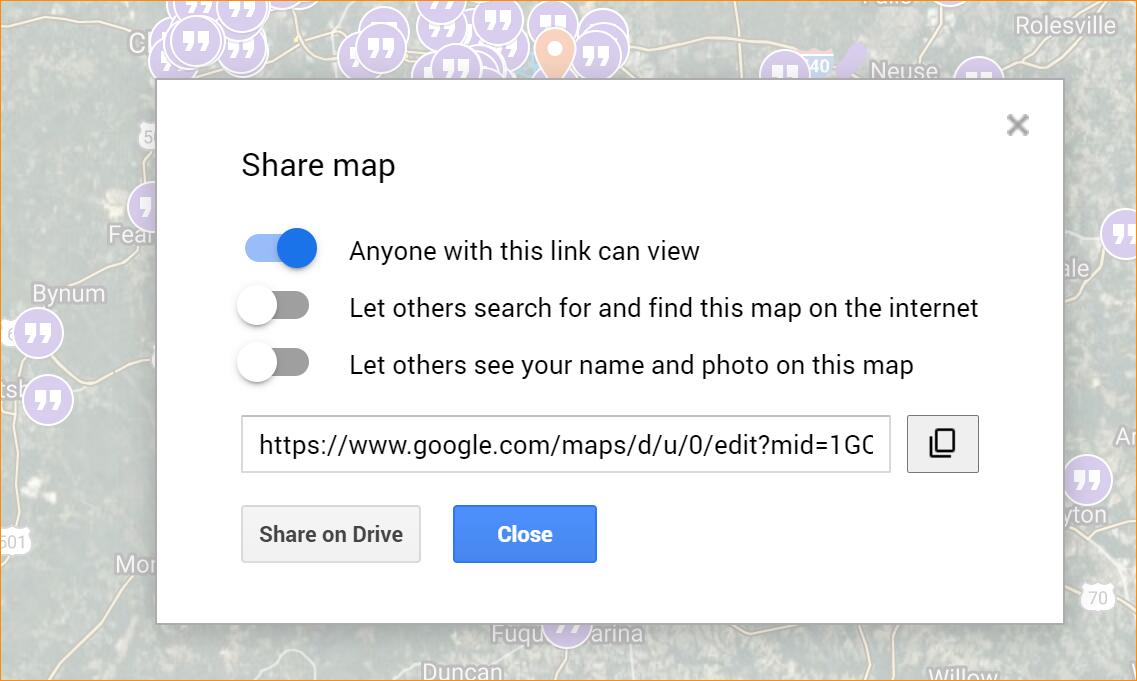
Make sense. Just figured I’d see if there was any history there. If anyone knows how to make a Google Map open to anyone who wants to edit, let me know. When I shared the one above, these were the only options I was given:
What a great idea, thanks for sharing! It’s always interesting to see where the proposed projects are located and really helpful for someone still trying to learn the names of the streets!
I think so! If we keep it updated and maybe color code the lots and layers to represent Planned / Proposed / Under Construction. We could put description in the text field along with the link to the plans.
The timing of this thread couldn’t be any better. Hat tip, @OakdaleZach
My next blog post was going to be a review of all the 40-floor rezonings this year and last but it got me thinking about just height in general around downtown. I’m currently tinkering with this map which I can’t embed right now.
I’m taking the city’s open data on zoning and color-coding the heights. We have 3, 4, 5, 7, 12, 20, and 40 stories represented here. I’m only focusing on the DX zoning type.
I still need to polish up the map just little bit and of course this shows CURRENT zoning and not any upcoming ones, which will naturally get added as the city updates their data.
Any feedback, suggestions are welcome. I need to add more info to the tooltips when you click a property.
Very interested in map-based community resources myself. ( Some of the links in this thread have vanished, though.) A crowd-sourced map would be awesome to develop. For Raleigh development activity, you may know this existing Open Data Raleigh map, though it seems to be populated with a lot of development plans from the ancient past as well: Development Plans