When you want to create dense, walkable mixed-use communities but your society is too dependent on cars, the closest thing you get to a transportation hub is a highway interchange. In that sense, I’m pretty sure people aren’t so geographically unaware that they can’t tell the difference between RTP and North Hills?
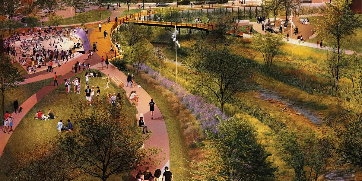
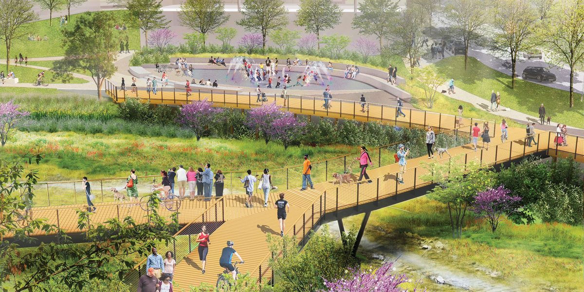
Besides, it’s all but certain that the RTF will plaster the whole Hub district with in-your-face RTP branding. Plus, unlike anywhere else in Raleigh (maybe except along Crabtree Creek in the future), there’s a creek flowing right through the middle of Hub RTP.
Case in point: Surface678, the landscape design studio that worked with RTP for this project, has a map and images showing exactly that:
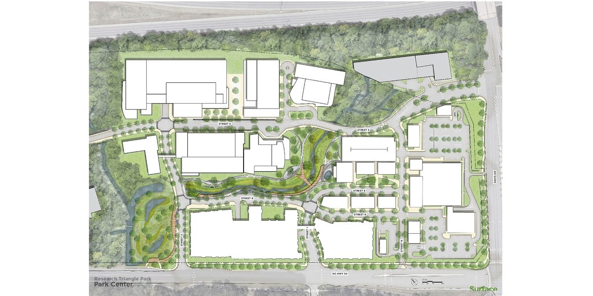
EDIT: while I was looking up sources for this, I also found out more about what’s going on with the Frontier (the renovations of existing buildings between Hub RTP and the Boxyard). It turns out that developers are thinking about augmenting (and eventually replacing) the 200 building so that it looks out at the riverfront and acts as a transition between the Hub and Frontier districts! Compare this to the existing building, which is the building in the middle in solid white here:

The new building extension could make for a cool photo angle of Hub RTP and a nice landmark halfway between the two development clusters. If the day comes when the 200 building needs to be demolished and moved (since it is next to a floodplain), then this structure can still thrive on its own:

That idea was shown by designers at Evoke Studios -though I couldn’t tell from other sources how committed the RTF is to this idea.